Dam data table
|
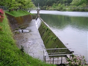
Dam No.:734
|
Kochi Dam (Pre) [Niigata Pref.]
|
→ Kochi Dam (Re)
|
|
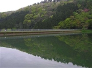
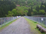
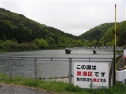
Dam Photo
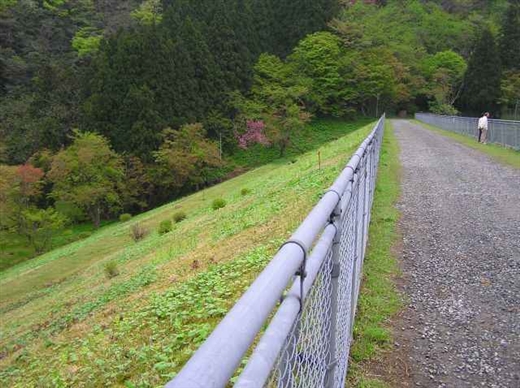
(Photo by: Hi Ace)
|
 026830 Hi Ace
|
|
 026837 Hi Ace
|
|
 044546 Atsushi Kato
|
|
 044547 Atsushi Kato
|
|
|
| Location (Latitude, Longitude) |
N 37°201' 10'',E 138°31' 29''
[Japanese Dam Finder]
|
| Purpose/Dam type |
W/E
|
| Height/Crest length/Dam volume |
24m/122m/97 thousand m3 |
| Catchment area/Water surface area |
5.1km2/4ha |
| Reservoir capacity |
265 thousand m3 |
| FY project started/completed |
/1938
|
