Dam data table
|
Dam No.:741
|
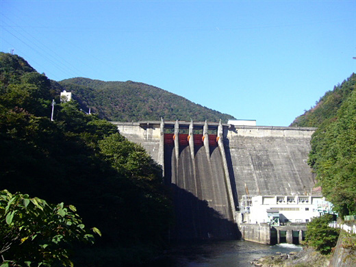
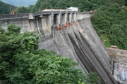
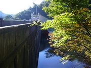
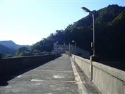
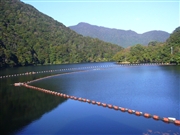
Miomote Dam [Niigata Pref.]
|
|
|
Dam Photo
(Photo by: Kitaguni no NAGO)
|
 062724 Rui Abe
|
|
 063440 Kitaguni no NAGO
|
|
 063439 Kitaguni no NAGO
|
|
 063429 Kitaguni no NAGO
|
|
|
| Location (Latitude, Longitude) |
N 38°141' 33'',E 139°38' 07''
[Japanese Dam Finder]
|
| Purpose/Dam type |
FNP/G
|
| Height/Crest length/Dam volume |
82.5m/205m/270 thousand m3 |
| Catchment area/Water surface area |
305.7km2/189ha |
| Reservoir capacity |
47800 thousand m3 |
| FY project started/completed |
1949/1953
|
