Dam data table
|
Dam No.:742
|
Saruta Dam [Niigata Pref.]
|
|
|
Dam Photo
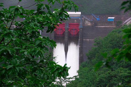
(Photo by: Dai)
|
|
| Location (Latitude, Longitude) |
N 38°161' 34'',E 139°42' 48''
[Japanese Dam Finder]
|
| Purpose/Dam type |
P/G
|
| Height/Crest length/Dam volume |
48.5m/114.3m/59 thousand m3 |
| Catchment area/Water surface area |
88.6km2/76ha |
| Reservoir capacity |
11740 thousand m3 |
| FY project started/completed |
1953/1955
|
