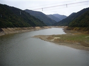
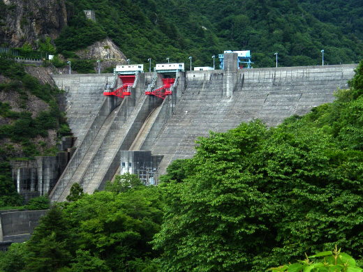
[Back]  [Dams in Japan]  [Japanese Page]


Dam data table
 
Dam No.:753
 
Kasabori Dam (Pre) [Niigata Pref.]

 → Kasabori Dam (Re)
Dam Photo

(Photo by: Dai)
063458 Kitaguni no NAGO
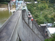
063461 Kitaguni no NAGO
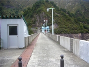
063455 Kitaguni no NAGO
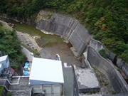
063464 Kitaguni no NAGO
Location (Latitude, Longitude) N 37°301' 18'',E 139°10' 26''   [Japanese Dam Finder]
Purpose/Dam type FNWP/G
Height/Crest length/Dam volume 74.5m/225.5m/231 thousand m3
Catchment area/Water surface area 70km2/63ha
Reservoir capacity 15400 thousand m3
FY project started/completed 1959/1964


Notes:
1. Dam purposes are abbreviated as follows:
A: Agricultural irrigation   F: Flood control   I: Water supply for industry   N: Non-specified, river flow maintenance
P: Hydropower   R: Recreation   S: Snow melting &removing   W: Water supply

2. Dam types are abbreviated as follows:
A: Arch   B: Buttress   CSG: Trapezoidal CSG   E: Earthfill   FA: Asphalt face fill   FC: Asphalt core fill   G: Gravity
GF: Gravity concrete & fill dam (compound)   HG: Hollow gravity   MA: Multi-arch   R: Rockfill

3. The fiscal year (FY) in Japan is from April 1 to March 31 of the following year.

Please send your comments
Copyright 2012 JAPAN DAM FOUNDATION. All rights reserved.

[Back]  [Dams in Japan]  [Japanese Page]