Dam data table
|
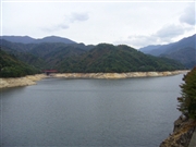
Dam No.:762
|
Uchinokura Dam [Niigata Pref.]
|
|
|
Dam Photo
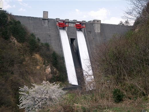
(Photo by: Masaaki Kamijo)
|
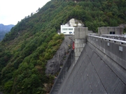 063477 Kitaguni no NAGO
|
|
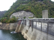 063473 Kitaguni no NAGO
|
|
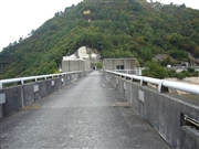 063476 Kitaguni no NAGO
|
|
 063482 Kitaguni no NAGO
|
|
|
| Location (Latitude, Longitude) |
N 37°511' 01'',E 139°25' 29''
[Japanese Dam Finder]
|
| Purpose/Dam type |
FAWP/HG
|
| Height/Crest length/Dam volume |
82.5m/166m/216 thousand m3 |
| Catchment area/Water surface area |
47.5km2/100ha |
| Reservoir capacity |
24800 thousand m3 |
| FY project started/completed |
1959/1973
|
