Dam data table
|
Dam No.:766
|
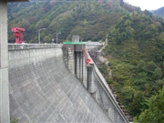
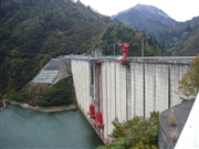
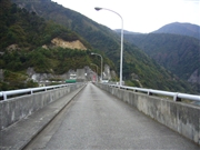
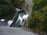
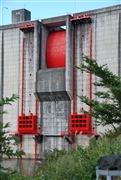
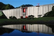
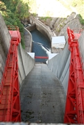
Kajigawa Chisui Dam [Niigata Pref.]
|
|
|
Dam Photo
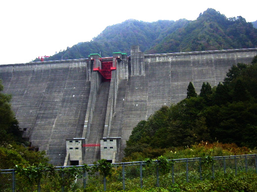
(Photo by: Kitaguni no NAGO)
|
 063503 Kitaguni no NAGO
|
|
 063490 Kitaguni no NAGO
|
|
 063499 Kitaguni no NAGO
|
|
 063487 Kitaguni no NAGO
|
|
 089054 Dam master
|
|
 089055 Dam master
|
|
 089080 Dam master
|
|
 089084 Dam master
|
|
|
| Location (Latitude, Longitude) |
N 37°481' 53'',E 139°29' 34''
[Japanese Dam Finder]
|
| Purpose/Dam type |
F/G
|
| Height/Crest length/Dam volume |
106.5m/285.5m/428 thousand m3 |
| Catchment area/Water surface area |
88km2/65ha |
| Reservoir capacity |
22500 thousand m3 |
| FY project started/completed |
1967/1974
|
