Dam data table
|
Dam No.:868
|
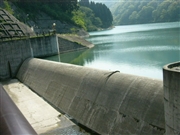
Yutanigawa Dam [Toyama Pref.]
|
|
|
Dam Photo
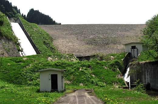
(Photo by: s_wind)
|
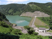 101894 Atsushi Kato
|
|
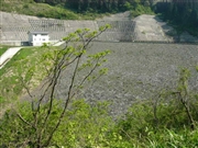 050773 Dam master
|
|
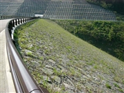 050767 Dam master
|
|
 050756 Dam master
|
|
|
| Location (Latitude, Longitude) |
N 36°341' 48'',E 137°3' 44''
[Japanese Dam Finder]
|
| Purpose/Dam type |
A/R
|
| Height/Crest length/Dam volume |
63.7m/176.4m/889 thousand m3 |
| Catchment area/Water surface area |
4.2km2/11ha |
| Reservoir capacity |
1636 thousand m3 |
| FY project started/completed |
1977/2000
|
