Dam data table
|
Dam No.:919
|
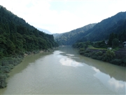
Tedorigawa No.2 Dam [Ishikawa Pref.]
|
|
|
Dam Photo
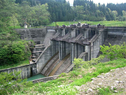
(Photo by: Rui Abe)
|
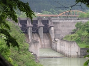 044899 Atsushi Kato
|
|
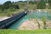 051751 Dam master
|
|
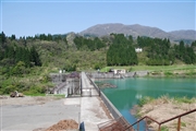 051735 Dam master
|
|
 018947 ToNo
|
|
|
| Location (Latitude, Longitude) |
N 36°171' 34'',E 136°38' 27''
[Japanese Dam Finder]
|
| Purpose/Dam type |
P/G
|
| Height/Crest length/Dam volume |
37.5m/210m/64 thousand m3 |
| Catchment area/Water surface area |
460.4km2/18ha |
| Reservoir capacity |
1700 thousand m3 |
| FY project started/completed |
1972/1979
|
