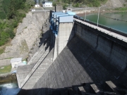
Dam data table
|
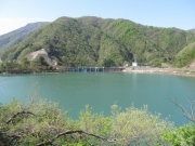
Dam No.:945
|
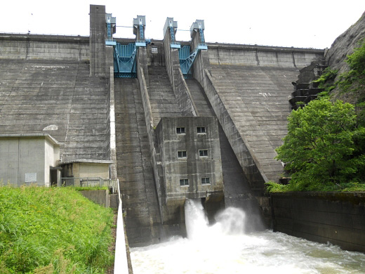
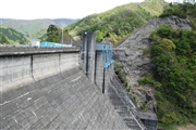
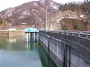
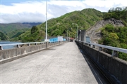
Hirono Dam [Fukui Pref.]
|
|
|
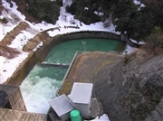
Dam Photo
(Photo by: Hetare Ojin)
|
 052444 Dam master
|
|
 028044 Hi Ace
|
|
 052446 Dam master
|
|
 028053 Hi Ace
|
|
 161850 s_wind
|
|
 101944 Atsushi Kato
|
|
 126520 Hiro@
|
|
 161857 s_wind
|
|
|
| Location (Latitude, Longitude) |
N 35°421' 50'',E 136°15' 27''
[Japanese Dam Finder]
|
| Purpose/Dam type |
FNIP/G
|
| Height/Crest length/Dam volume |
63m/162m/143 thousand m3 |
| Catchment area/Water surface area |
42.3km2/54ha |
| Reservoir capacity |
11300 thousand m3 |
| FY project started/completed |
1967/1976
|
