Dam data table
|
Dam No.:963
|
Maruyama Tameike [Yamanashi Pref.]
|
|
|
Dam Photo

(Photo by: Dam master)
|
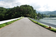
 071356 Dam master
|
|
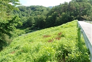
 071355 Dam master
|
|
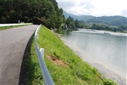 071358 Dam master
|
|
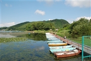 071337 Dam master
|
|
|
| Location (Latitude, Longitude) |
N 35°421' 20'',E 138°33' 14''
[Japanese Dam Finder]
|
| Purpose/Dam type |
FA/E
|
| Height/Crest length/Dam volume |
19m/89m/47 thousand m3 |
| Catchment area/Water surface area |
4.1km2/26ha |
| Reservoir capacity |
1450 thousand m3 |
| FY project started/completed |
/1988
|
