Dam data table
|
Dam No.:974
|
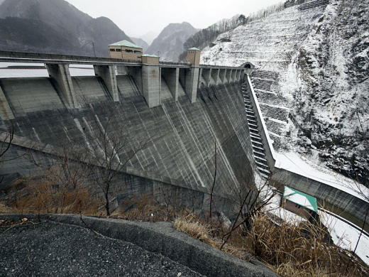
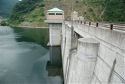
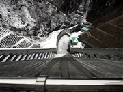
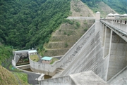
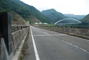
Shiokawa Dam [Yamanashi Pref.]
|
|
|
Dam Photo
(Photo by: marc no hito)
|
 071696 Dam master
|
|
 118558 marc no hito
|
|
 071730 Dam master
|
|
 071731 Dam master
|
|
|
| Location (Latitude, Longitude) |
N 35°511' 30'',E 138°29' 52''
[Japanese Dam Finder]
|
| Purpose/Dam type |
FNAW/G
|
| Height/Crest length/Dam volume |
79m/225m/388 thousand m3 |
| Catchment area/Water surface area |
85.3km2/48ha |
| Reservoir capacity |
11500 thousand m3 |
| FY project started/completed |
1975/1997
|
