Dam data table
|
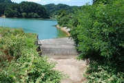
Dam No.:999
|
Misuzu-ko [Nagano Pref.]
|
|
|
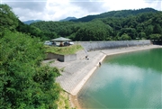
Dam Photo
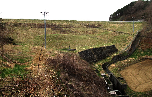
(Photo by: s_wind)
|
 072000 Dam master
|
|
 072016 Dam master
|
|
 072030 Dam master
|
|
 071999 Dam master
|
|
|
| Location (Latitude, Longitude) |
N 36°151' 49'',E 138°1' 01''
[Japanese Dam Finder]
|
| Purpose/Dam type |
A/E
|
| Height/Crest length/Dam volume |
19m/174m/125 thousand m3 |
| Catchment area/Water surface area |
3km2/10ha |
| Reservoir capacity |
809 thousand m3 |
| FY project started/completed |
/1951
|
