Dam data table
|
Dam No.:1003
|
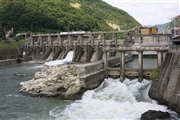
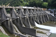
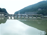
Odagiri Dam [Nagano Pref.]
|
|
|
Dam Photo
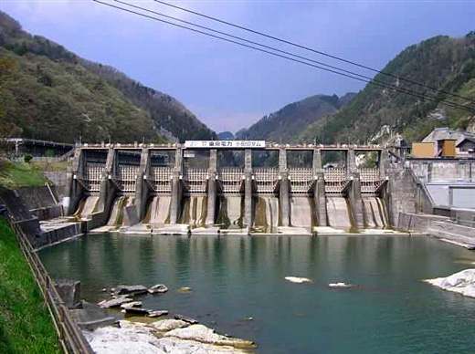
(Photo by: Hi Ace)
|
 081204 Takashi Yasukochi
|
|
 081201 Takashi Yasukochi
|
|
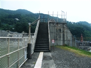 085038 Dai
|
|
 085039 Dai
|
|
|
| Location (Latitude, Longitude) |
N 36°371' 12'',E 138°7' 24''
[Japanese Dam Finder]
|
| Purpose/Dam type |
P/G
|
| Height/Crest length/Dam volume |
21.3m/143m/17 thousand m3 |
| Catchment area/Water surface area |
2787km2/53ha |
| Reservoir capacity |
2546 thousand m3 |
| FY project started/completed |
1952/1954
|
