Dam data table
|
Dam No.:1009
|
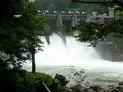
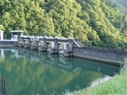
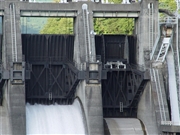
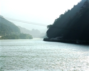
Yamaguchi Dam [Nagano Pref.]
|
|
|
Dam Photo
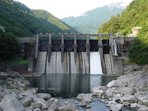
(Photo by: Sanchan)
|
 053352 Dam master
|
|
 065053 Sanchan
|
|
 065048 Sanchan
|
|
 019034 ToNo
|
|
|
| Location (Latitude, Longitude) |
N 35°351' 12'',E 137°34' 13''
[Japanese Dam Finder]
|
| Purpose/Dam type |
P/G
|
| Height/Crest length/Dam volume |
38.6m/181.4m/61 thousand m3 |
| Catchment area/Water surface area |
1534.5km2/31ha |
| Reservoir capacity |
3484 thousand m3 |
| FY project started/completed |
1955/1957
|
