Dam data table
|
Dam No.:1019
|
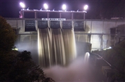
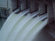
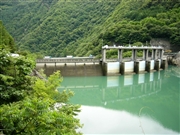
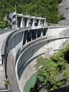
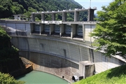
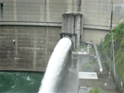
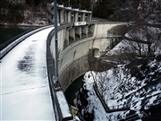
Inekoki Dam [Nagano Pref.]
|
|
|
Dam Photo
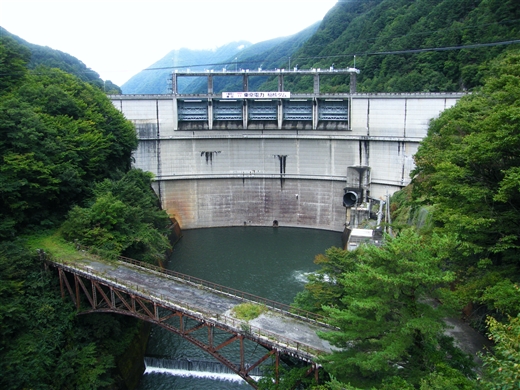
(Photo by: Dai)
|
 022298 Hisa
|
|
 028387 Hi Ace
|
|
 019061 ToNo
|
|
 053609 Dam master
|
|
 019060 ToNo
|
|
 085975 Takashi Yasukochi
|
|
 053647 Dam master
|
|
 118566 marc no hito
|
|
|
| Location (Latitude, Longitude) |
N 36°101' 06'',E 137°46' 16''
[Japanese Dam Finder]
|
| Purpose/Dam type |
P/A
|
| Height/Crest length/Dam volume |
60m/192.8m/65 thousand m3 |
| Catchment area/Water surface area |
444.9km2/51ha |
| Reservoir capacity |
10700 thousand m3 |
| FY project started/completed |
1965/1968
|
