Dam data table
|
Dam No.:1026
|
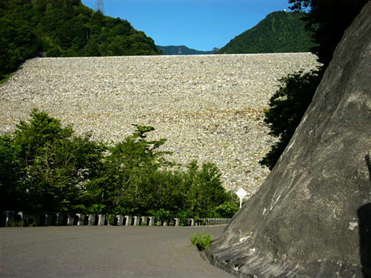
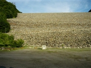
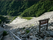
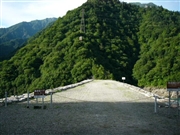
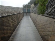
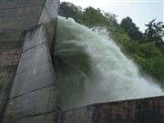
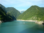
Nanakura Dam [Nagano Pref.]
|
|
|
Dam Photo
(Photo by: Dam master)
|
 053809 Dam master
|
|
 019858 Poko
|
|
 053857 Dam master
|
|
 053856 Dam master
|
|
 053849 Dam master
|
|
 028442 Hi Ace
|
|
 028456 Hi Ace
|
|
 053835 Dam master
|
|
|
| Location (Latitude, Longitude) |
N 36°291' 25'',E 137°44' 07''
[Japanese Dam Finder]
|
| Purpose/Dam type |
P/R
|
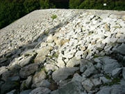
| Height/Crest length/Dam volume |
125m/340m/7380 thousand m3 |
| Catchment area/Water surface area |
150km2/72ha |
| Reservoir capacity |
32500 thousand m3 |
| FY project started/completed |
1970/1979
|
