|
|
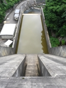
Dam Photo
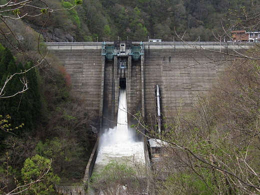
(Photo by: s_wind)
|
 140280 s_wind
|
|
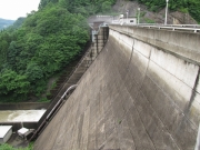
 140282 s_wind
|
|
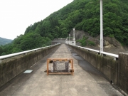
 126976 Dai
|
|
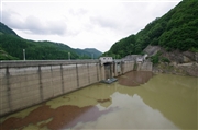
 190509 marc no hito
|
|
|
| Location (Latitude, Longitude) |
N 36°431' 30'',E 137°58' 00''
[Japanese Dam Finder]
|
| Purpose/Dam type |
FWP/G
|
| Height/Crest length/Dam volume |
59m/170m/152 thousand m3 |
| Catchment area/Water surface area |
65km2/30ha |
| Reservoir capacity |
5400 thousand m3 |
| FY project started/completed |
1969/1979
|
