Dam data table
|
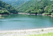
Dam No.:1048
|
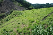
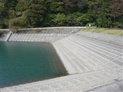
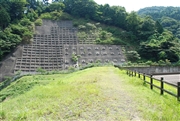
Ohtani-ike [Gifu Pref.]
|
|
|
Dam Photo
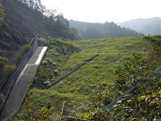
(Photo by: ToNo)
|
 072566 Dam master
|
|
 019119 ToNo
|
|
 072581 Dam master
|
|
 072590 Dam master
|
|
|
| Location (Latitude, Longitude) |
N 35°211' 26'',E 136°30' 49''
[Japanese Dam Finder]
|
| Purpose/Dam type |
A/E
|
| Height/Crest length/Dam volume |
18.7m/82m/86 thousand m3 |
| Catchment area/Water surface area |
1.2km2/4ha |
| Reservoir capacity |
161 thousand m3 |
| FY project started/completed |
/1914
|
