Dam data table
|
Dam No.:1059
|
Ochiai Dam [Gifu Pref.]
|
|
|
Dam Photo
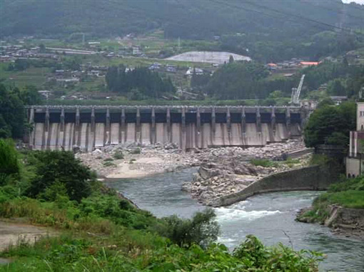
(Photo by: Hi Ace)
|
|
| Location (Latitude, Longitude) |
N 35°311' 17'',E 137°31' 31''
[Japanese Dam Finder]
|
| Purpose/Dam type |
P/G
|
| Height/Crest length/Dam volume |
33.3m/215.1m/45 thousand m3 |
| Catchment area/Water surface area |
1747km2/45ha |
| Reservoir capacity |
3872 thousand m3 |
| FY project started/completed |
1925/1926
|
