|
|
Dam Photo
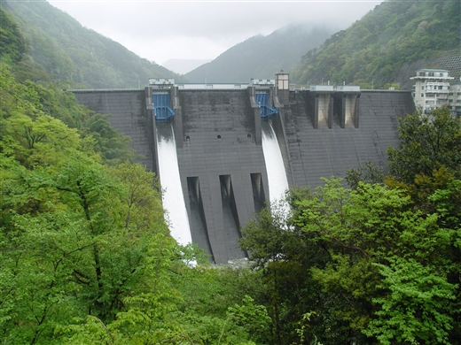
(Photo by: Sanchan)
|
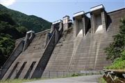 040723 Kancho!
|
|
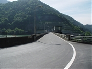
 029009 Hi Ace
|
|
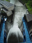
 065520 Sanchan
|
|
 077608 Sanchan
|
|
|
| Location (Latitude, Longitude) |
N 35°351' 35'',E 136°27' 19''
[Japanese Dam Finder]
|
| Purpose/Dam type |
FAP/HG
|
| Height/Crest length/Dam volume |
80.8m/220m/320 thousand m3 |
| Catchment area/Water surface area |
471km2/170ha |
| Reservoir capacity |
43000 thousand m3 |
| FY project started/completed |
1957/1964
|
