Dam data table
|
Dam No.:1106
|
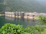
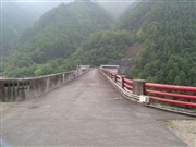
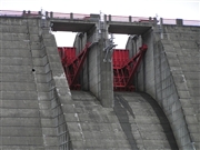
Takane No.2 Dam [Gifu Pref.]
|
|
|
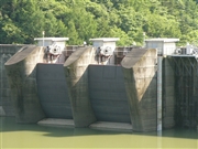
Dam Photo
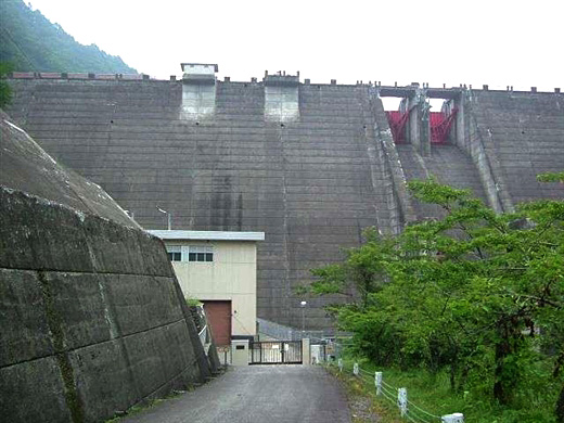
(Photo by: Hi Ace)
|
 029109 Hi Ace
|
|
 029105 Hi Ace
|
|
 045058 Atsushi Kato
|
|
 055304 Dam master
|
|
|
| Location (Latitude, Longitude) |
N 36°11' 46'',E 137°27' 47''
[Japanese Dam Finder]
|
| Purpose/Dam type |
P/HG
|
| Height/Crest length/Dam volume |
69m/232m/162 thousand m3 |
| Catchment area/Water surface area |
173km2/58ha |
| Reservoir capacity |
11927 thousand m3 |
| FY project started/completed |
1963/1968
|
