Dam data table
|
Dam No.:1125
|
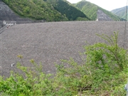
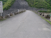
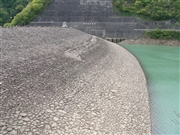
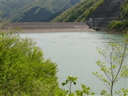
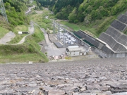
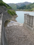
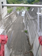
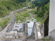
Kamiohsu Dam [Gifu Pref.]
|
|
|
Dam Photo

(Photo by: Dam master)
|
 055797 Dam master
|
|
 055777 Dam master
|
|
 055772 Dam master
|
|
 055743 Dam master
|
|
 055779 Dam master
|
|
 055784 Dam master
|
|
 055787 Dam master
|
|
 055789 Dam master
|
|
|
| Location (Latitude, Longitude) |
N 35°441' 15'',E 136°39' 43''
[Japanese Dam Finder]
|
| Purpose/Dam type |
P/R
|
| Height/Crest length/Dam volume |
98m/294.5m/3390 thousand m3 |
| Catchment area/Water surface area |
12km2/45ha |
| Reservoir capacity |
14500 thousand m3 |
| FY project started/completed |
1976/1995
|
