[Back]  [Dams in Japan]  [Japanese Page]


Dam data table
 
Dam No.:1128
 
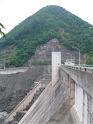
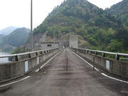
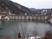
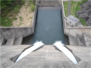
Atagi Dam [Gifu Pref.]


Dam Photo

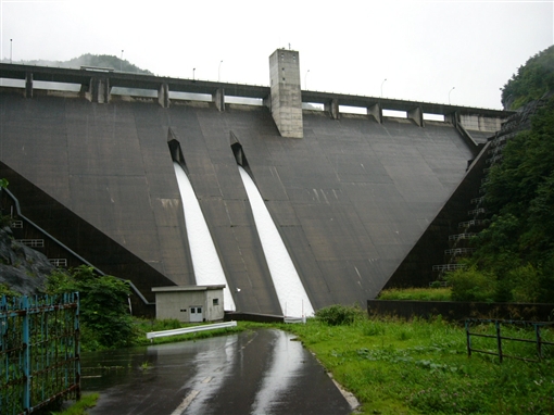
(Photo by: Dam master)
055912 Dam master
019345 ToNo
029308 Hi Ace
019346 ToNo
Location (Latitude, Longitude) N 35°541' 14'',E 136°54' 11''   [Japanese Dam Finder]
Purpose/Dam type FN/G
Height/Crest length/Dam volume 71.4m/200m/195 thousand m3
Catchment area/Water surface area 16km2/14ha
Reservoir capacity 2550 thousand m3
FY project started/completed 1973/1987


Notes:
1. Dam purposes are abbreviated as follows:
A: Agricultural irrigation   F: Flood control   I: Water supply for industry   N: Non-specified, river flow maintenance
P: Hydropower   R: Recreation   S: Snow melting &removing   W: Water supply

2. Dam types are abbreviated as follows:
A: Arch   B: Buttress   CSG: Trapezoidal CSG   E: Earthfill   FA: Asphalt face fill   FC: Asphalt core fill   G: Gravity
GF: Gravity concrete & fill dam (compound)   HG: Hollow gravity   MA: Multi-arch   R: Rockfill

3. The fiscal year (FY) in Japan is from April 1 to March 31 of the following year.

Please send your comments
Copyright 2012 JAPAN DAM FOUNDATION. All rights reserved.

[Back]  [Dams in Japan]  [Japanese Page]