Dam data table
|
Dam No.:1130
|
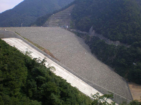
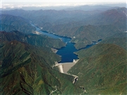
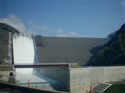
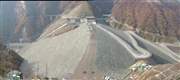
Tokuyama Dam [Gifu Pref.]
|
|
|
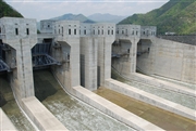
Dam Photo
(Photo by: Public Relations Section, Japan Water Agency)
|
 106453 Public Relations Section, Japan Water Agency
|
|
 099242 Takashi Tsuchiya
|
|
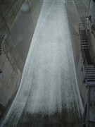
 062045 Public Relations Section, Japan Water Agency
|
|
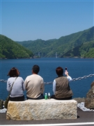
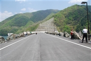 089771 Dam master
|
|
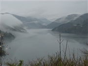
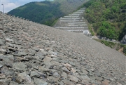 089786 Dam master
|
|
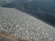 077741 Sanchan
|
|
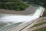
 089809 Dam master
|
|
 089713 Dam master
|
|
 077834 Sanchan
|
|
 089717 Dam master
|
|
 099428 Ryu
|
|
 065777 Sanchan
|
|
|
| Location (Latitude, Longitude) |
N 35°391' 55'',E 136°30' 08''
[Japanese Dam Finder]
|
| Purpose/Dam type |
FNWIP/R
|
| Height/Crest length/Dam volume |
161m/427.1m/13700 thousand m3 |
| Catchment area/Water surface area |
254.5km2/1300ha |
| Reservoir capacity |
660000 thousand m3 |
| FY project started/completed |
1971/2007
|
