Dam data table
|
Dam No.:1170
|
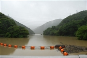
Hranoyagawa Dam [Shizuoka Pref.]
|
|
|
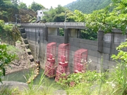
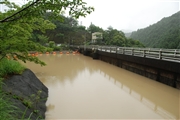
Dam Photo
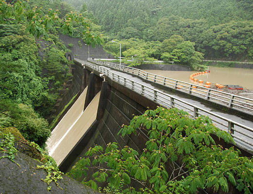
(Photo by: Dam master)
|
 057354 Dam master
|
|
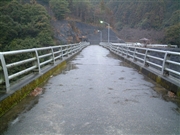 057347 Dam master
|
|
 057324 Dam master
|
|
 057331 Dam master
|
|
|
| Location (Latitude, Longitude) |
N 34°511' 27'',E 138°0' 39''
[Japanese Dam Finder]
|
| Purpose/Dam type |
FA/G
|
| Height/Crest length/Dam volume |
31m/90m/23 thousand m3 |
| Catchment area/Water surface area |
17.9km2/19ha |
| Reservoir capacity |
1252 thousand m3 |
| FY project started/completed |
/1970
|
