Dam data table
|
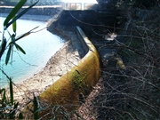
Dam No.:1218
|
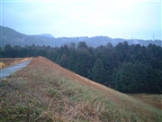
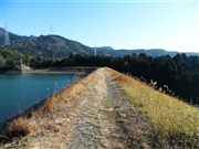
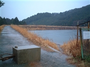
Takaraji-ike [Aichi Pref.]
|
|
|
Dam Photo
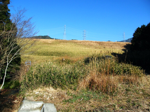
(Photo by: Dai)
|
 058095 Dam master
|
|
 099101 Dai
|
|
 058074 Dam master
|
|
 099100 Dai
|
|
|
| Location (Latitude, Longitude) |
N 34°521' 58'',E 137°24' 52''
[Japanese Dam Finder]
|
| Purpose/Dam type |
A/E
|
| Height/Crest length/Dam volume |
23.5m/198.9m/81 thousand m3 |
| Catchment area/Water surface area |
1.1km2/4ha |
| Reservoir capacity |
290 thousand m3 |
| FY project started/completed |
/1955
|
