[Back]  [Dams in Japan]  [Japanese Page]


Dam data table
 
Dam No.:1319
 
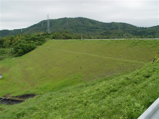
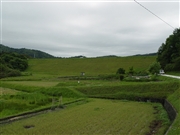
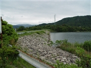
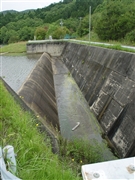
Midoro Dam [Mie Pref.]


Dam Photo

(Photo by: Sanchan)
066807 Sanchan
066797 Sanchan
066800 Sanchan
066798 Sanchan
Location (Latitude, Longitude) N 34°451' 48'',E 136°11' 42''   [Japanese Dam Finder]
Purpose/Dam type A/E
Height/Crest length/Dam volume 26.2m/180m/127 thousand m3
Catchment area/Water surface area km2/20ha
Reservoir capacity 1291 thousand m3
FY project started/completed 1953/1970


Notes:
1. Dam purposes are abbreviated as follows:
A: Agricultural irrigation   F: Flood control   I: Water supply for industry   N: Non-specified, river flow maintenance
P: Hydropower   R: Recreation   S: Snow melting &removing   W: Water supply

2. Dam types are abbreviated as follows:
A: Arch   B: Buttress   CSG: Trapezoidal CSG   E: Earthfill   FA: Asphalt face fill   FC: Asphalt core fill   G: Gravity
GF: Gravity concrete & fill dam (compound)   HG: Hollow gravity   MA: Multi-arch   R: Rockfill

3. The fiscal year (FY) in Japan is from April 1 to March 31 of the following year.

Please send your comments
Copyright 2012 JAPAN DAM FOUNDATION. All rights reserved.

[Back]  [Dams in Japan]  [Japanese Page]