[Back]  [Dams in Japan]  [Japanese Page]


Dam data table
 
Dam No.:1322
 
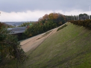
Yamamura Dam [Mie Pref.]


Dam Photo

(Photo by: ToNo)
197368 pink no usagi
019563 ToNo
059171 Dam master
197370 pink no usagi
Location (Latitude, Longitude) N 35°21' 13'',E 136°38' 09''   [Japanese Dam Finder]
Purpose/Dam type I/E
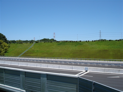
Height/Crest length/Dam volume 37m/749m/575 thousand m3
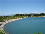
Catchment area/Water surface area 0.5km2/22ha
Reservoir capacity 2340 thousand m3
FY project started/completed 1970/1973


Notes:
1. Dam purposes are abbreviated as follows:
A: Agricultural irrigation   F: Flood control   I: Water supply for industry   N: Non-specified, river flow maintenance
P: Hydropower   R: Recreation   S: Snow melting &removing   W: Water supply

2. Dam types are abbreviated as follows:
A: Arch   B: Buttress   CSG: Trapezoidal CSG   E: Earthfill   FA: Asphalt face fill   FC: Asphalt core fill   G: Gravity
GF: Gravity concrete & fill dam (compound)   HG: Hollow gravity   MA: Multi-arch   R: Rockfill

3. The fiscal year (FY) in Japan is from April 1 to March 31 of the following year.

Please send your comments
Copyright 2012 JAPAN DAM FOUNDATION. All rights reserved.

[Back]  [Dams in Japan]  [Japanese Page]