Dam data table
|
Dam No.:1326
|
Kasato Choseichi [Mie Pref.]
|
|
|
Dam Photo
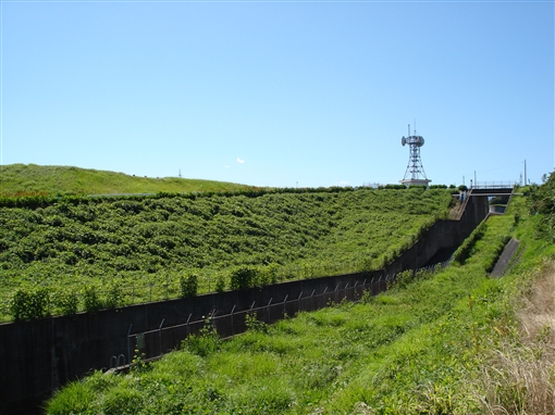
(Photo by: ToNo)
|
 019588 ToNo
|
|
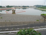 059243 Dam master
|
|
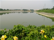 059231 Dam master
|
|
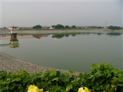 059228 Dam master
|
|
|
| Location (Latitude, Longitude) |
N 34°531' 53'',E 136°31' 31''
[Japanese Dam Finder]
|
| Purpose/Dam type |
AWI/E
|
| Height/Crest length/Dam volume |
28.7m/310m/520 thousand m3 |
| Catchment area/Water surface area |
6.9km2/34ha |
| Reservoir capacity |
3047 thousand m3 |
| FY project started/completed |
1964/1982
|
