Dam data table
|
Dam No.:1361
|
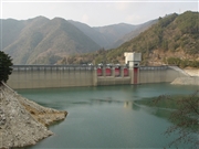
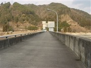
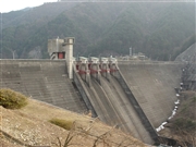
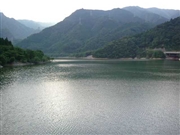
Eiganji Dam [Shiga Pref.]
|
|
|
Dam Photo
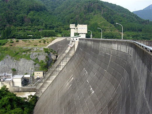
(Photo by: ToNo)
|
 067112 Sanchan
|
|
 067116 Sanchan
|
|
 067132 Sanchan
|
|
 030206 Hi Ace
|
|
|
| Location (Latitude, Longitude) |
N 35°41' 33'',E 136°20' 07''
[Japanese Dam Finder]
|
| Purpose/Dam type |
AP/GF
|
| Height/Crest length/Dam volume |
73.5m/392m/408 thousand m3 |
| Catchment area/Water surface area |
131.5km2/98ha |
| Reservoir capacity |
22741 thousand m3 |
| FY project started/completed |
1952/1972
|
