Dam data table
|
Dam No.:1362
|
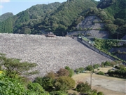
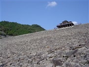
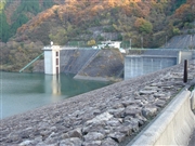
Usogawa Dam [Shiga Pref.]
|
|
|
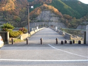
Dam Photo
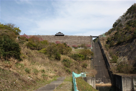
(Photo by: Nyanber)
|
 019634 ToNo
|
|
 019635 ToNo
|
|
 067155 Sanchan
|
|
 067153 Sanchan
|
|
|
| Location (Latitude, Longitude) |
N 35°91' 15'',E 136°17' 27''
[Japanese Dam Finder]
|
| Purpose/Dam type |
FN/R
|
| Height/Crest length/Dam volume |
56m/192.8m/980 thousand m3 |
| Catchment area/Water surface area |
7.8km2/17ha |
| Reservoir capacity |
2900 thousand m3 |
| FY project started/completed |
1971/1979
|
