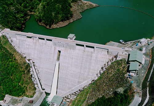
[Back]  [Dams in Japan]  [Japanese Page]


Dam data table
 
Dam No.:1365
 
Anegawa Dam [Shiga Pref.]
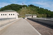
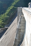
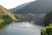

Dam Photo


258717
073752 Dam master
073737 Dam master
073816 Dam master
Location (Latitude, Longitude) N 35°291' 06'',E 136°20' 59''   [Japanese Dam Finder]
Purpose/Dam type FNP/G
Height/Crest length/Dam volume 80.5m/225m/302 thousand m3
Catchment area/Water surface area 28.3km2/33ha
Reservoir capacity 7600 thousand m3
FY project started/completed 1977/2002


Notes:
1. Dam purposes are abbreviated as follows:
A: Agricultural irrigation   F: Flood control   I: Water supply for industry   N: Non-specified, river flow maintenance
P: Hydropower   R: Recreation   S: Snow melting &removing   W: Water supply

2. Dam types are abbreviated as follows:
A: Arch   B: Buttress   CSG: Trapezoidal CSG   E: Earthfill   FA: Asphalt face fill   FC: Asphalt core fill   G: Gravity
GF: Gravity concrete & fill dam (compound)   HG: Hollow gravity   MA: Multi-arch   R: Rockfill

3. The fiscal year (FY) in Japan is from April 1 to March 31 of the following year.

Please send your comments
Copyright 2012 JAPAN DAM FOUNDATION. All rights reserved.

[Back]  [Dams in Japan]  [Japanese Page]