Dam data table
|
Dam No.:1380
|
Mawari-ike [Kyoto Pref.]
|
|
|
Dam Photo
(Photo by: Takashi Yasukochi)
|
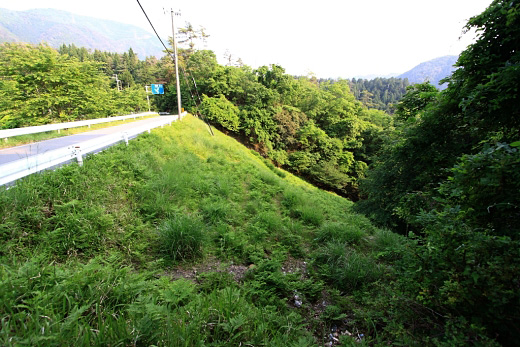
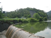 074950 Rui Abe
|
|
 172611 Takashi Yasukochi
|
|
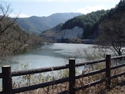 067307 Sanchan
|
|
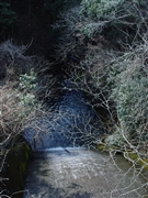 067312 Sanchan
|
|
|
| Location (Latitude, Longitude) |
N 35°51' 32'',E 135°36' 21''
[Japanese Dam Finder]
|
| Purpose/Dam type |
A/E
|
| Height/Crest length/Dam volume |
30m/51m/69 thousand m3 |
| Catchment area/Water surface area |
5.4km2/10ha |
| Reservoir capacity |
950 thousand m3 |
| FY project started/completed |
/1880
|
