Dam data table
|
Dam No.:1437
|
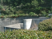
Minoogawa Dam [Osaka Pref.]
|
|
|
Dam Photo
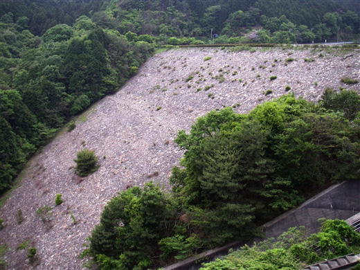
(Photo by: Shinji Minamiya)
|
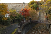 076004 KENBO
|
|
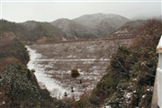 078207 Rui Abe
|
|
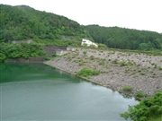 030654 Hi Ace
|
|
 078208 Rui Abe
|
|
|
| Location (Latitude, Longitude) |
N 34°511' 36'',E 135°28' 39''
[Japanese Dam Finder]
|
| Purpose/Dam type |
FN/R
|
| Height/Crest length/Dam volume |
47m/222.5m/600 thousand m3 |
| Catchment area/Water surface area |
6.7km2/14ha |
| Reservoir capacity |
2000 thousand m3 |
| FY project started/completed |
1968/1983
|
