|
|
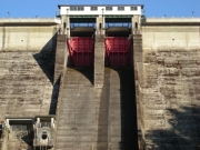
Dam Photo
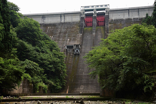
(Photo by: cantam)
|
 085125 cantam
|
|
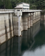
 030763 Hi Ace
|
|
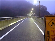
 030767 Hi Ace
|
|
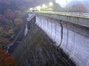
 159560 Poko
|
|
|
| Location (Latitude, Longitude) |
N 35°131' 51'',E 134°32' 20''
[Japanese Dam Finder]
|
| Purpose/Dam type |
FNIP/G
|
| Height/Crest length/Dam volume |
66m/184.4m/180 thousand m3 |
| Catchment area/Water surface area |
57.5km2/88ha |
| Reservoir capacity |
21950 thousand m3 |
| FY project started/completed |
1953/1957
|
