Dam data table
|
Dam No.:1508
|
Gongen No.1 Dam [Hyogo Pref.]
|
|
|
Dam Photo
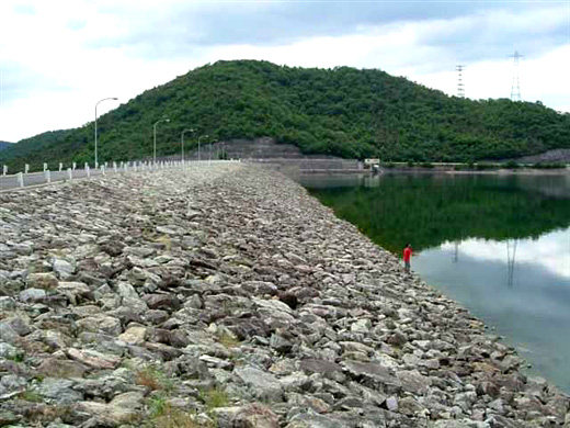
(Photo by: Hi Ace)
|
|
| Location (Latitude, Longitude) |
N 34°491' 06'',E 134°52' 30''
[Japanese Dam Finder]
|
| Purpose/Dam type |
I/R
|
| Height/Crest length/Dam volume |
32.6m/357.4m/856 thousand m3 |
| Catchment area/Water surface area |
6.5km2/101ha |
| Reservoir capacity |
11120 thousand m3 |
| FY project started/completed |
1969/1981
|
