Dam data table
|
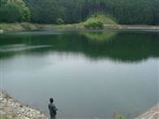
Dam No.:1552
|
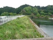
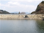
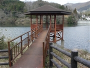
Hongo Tameike [Nara Pref.]
|
|
|
Dam Photo
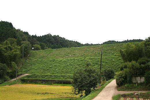
(Photo by: Rui Abe)
|
 031231 Hi Ace
|
|
 068023 Sanchan
|
|
 068017 Sanchan
|
|
 031233 Hi Ace
|
|
|
| Location (Latitude, Longitude) |
N 34°281' 24'',E 135°55' 16''
[Japanese Dam Finder]
|
| Purpose/Dam type |
A/E
|
| Height/Crest length/Dam volume |
23m/138m/ thousand m3 |
| Catchment area/Water surface area |
4.3km2/4ha |
| Reservoir capacity |
512 thousand m3 |
| FY project started/completed |
/1935
|
