Dam data table
|
Dam No.:1567
|
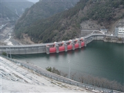
Ohsako Dam [Nara Pref.]
|
|
|
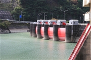
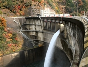
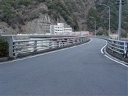
Dam Photo
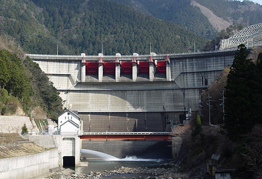
(Photo by: Sanchan)
|
 041016 Kancho!
|
|
 074980 Rui Abe
|
|
 068544 Sanchan
|
|
 068578 Sanchan
|
|
|
| Location (Latitude, Longitude) |
N 34°161' 26'',E 136°0' 45''
[Japanese Dam Finder]
|
| Purpose/Dam type |
AWP/A
|
| Height/Crest length/Dam volume |
70.5m/222.3m/158 thousand m3 |
| Catchment area/Water surface area |
114.8km2/107ha |
| Reservoir capacity |
27750 thousand m3 |
| FY project started/completed |
1954/1973
|
