Dam data table
|
Dam No.:1577
|
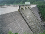
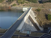
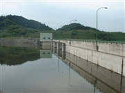
Kamitsu Dam [Nara Pref.]
|
|
|
Dam Photo
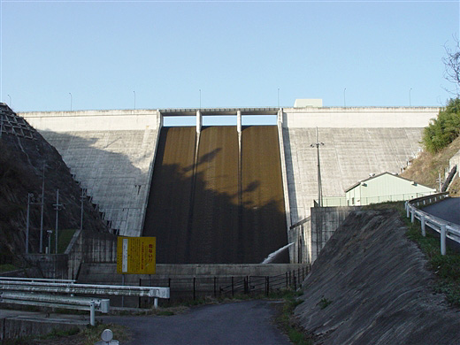
(Photo by: Sanchan)
|
 046809 Rui Abe
|
|
 068844 Sanchan
|
|
 031776 Hi Ace
|
|
 031772 Hi Ace
|
|
|
| Location (Latitude, Longitude) |
N 34°401' 18'',E 136°1' 39''
[Japanese Dam Finder]
|
| Purpose/Dam type |
AW/G
|
| Height/Crest length/Dam volume |
63.5m/264m/210 thousand m3 |
| Catchment area/Water surface area |
18.9km2/33ha |
| Reservoir capacity |
5600 thousand m3 |
| FY project started/completed |
1975/2000
|
