Dam data table
|
Dam No.:1582
|
Miyaoku Dam [Nara Pref.]
|
|
|
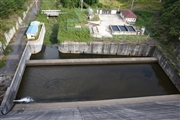
Dam Photo
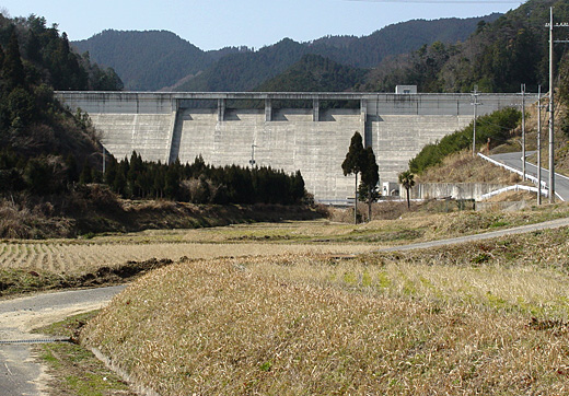
(Photo by: Sanchan)
|
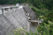 046821 Rui Abe
|
|
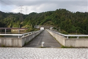 041056 Kancho!
|
|
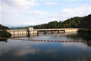 041061 Kancho!
|
|
 041059 Kancho!
|
|
|
| Location (Latitude, Longitude) |
N 34°271' 21'',E 135°54' 33''
[Japanese Dam Finder]
|
| Purpose/Dam type |
AW/G
|
| Height/Crest length/Dam volume |
36.5m/175m/65 thousand m3 |
| Catchment area/Water surface area |
2.9km2/5ha |
| Reservoir capacity |
580 thousand m3 |
| FY project started/completed |
1983/1998
|
