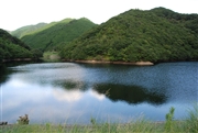
[Back]  [Dams in Japan]  [Japanese Page]


Dam data table
 
Dam No.:1638
 
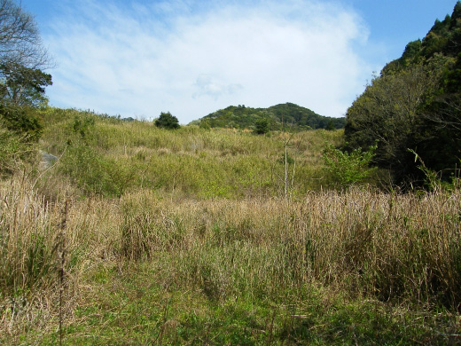
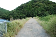
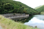
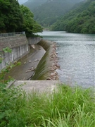
Taisho-ike [Wakayama Pref.]


Dam Photo

(Photo by: Dai)
093453 Dam master
093460 Dam master
032065 Hi Ace
093458 Dam master
Location (Latitude, Longitude) N 33°591' 34'',E 135°12' 35''   [Japanese Dam Finder]
Purpose/Dam type A/E
Height/Crest length/Dam volume 18m/81.6m/67 thousand m3
Catchment area/Water surface area km2/4ha
Reservoir capacity 267 thousand m3
FY project started/completed /1939


Notes:
1. Dam purposes are abbreviated as follows:
A: Agricultural irrigation   F: Flood control   I: Water supply for industry   N: Non-specified, river flow maintenance
P: Hydropower   R: Recreation   S: Snow melting &removing   W: Water supply

2. Dam types are abbreviated as follows:
A: Arch   B: Buttress   CSG: Trapezoidal CSG   E: Earthfill   FA: Asphalt face fill   FC: Asphalt core fill   G: Gravity
GF: Gravity concrete & fill dam (compound)   HG: Hollow gravity   MA: Multi-arch   R: Rockfill

3. The fiscal year (FY) in Japan is from April 1 to March 31 of the following year.

Please send your comments
Copyright 2012 JAPAN DAM FOUNDATION. All rights reserved.

[Back]  [Dams in Japan]  [Japanese Page]