Dam data table
|
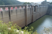
Dam No.:1681
|
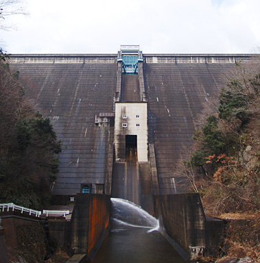
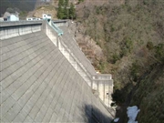
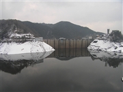
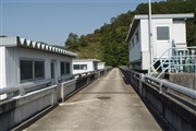
Sugesawa Dam [Tottori Pref.]
|
|
|
Dam Photo
(Photo by: Yosuzume)
|
 032520 Hi Ace
|
|
 045119 Atsushi Kato
|
|
 069159 Sanchan
|
|
 069167 Sanchan
|
|
|
| Location (Latitude, Longitude) |
N 35°121' 19'',E 133°18' 51''
[Japanese Dam Finder]
|
| Purpose/Dam type |
FAIP/G
|
| Height/Crest length/Dam volume |
73.5m/210m/204 thousand m3 |
| Catchment area/Water surface area |
121km2/110ha |
| Reservoir capacity |
19800 thousand m3 |
| FY project started/completed |
1962/1967
|
