Dam data table
|
Dam No.:1714
|
Miyama Tameike [Shimane Pref.]
|
|
|
Dam Photo
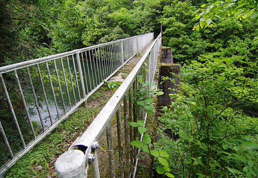
(Photo by: Atsudam Sengen!)
|
|
| Location (Latitude, Longitude) |
N 35°131' 41'',E 132°33' 08''
[Japanese Dam Finder]
|
| Purpose/Dam type |
A/G
|
| Height/Crest length/Dam volume |
15m/24.5m/2 thousand m3 |
| Catchment area/Water surface area |
2.5km2/1ha |
| Reservoir capacity |
80 thousand m3 |
| FY project started/completed |
/1987
|
