Dam data table
|
Dam No.:1893
|
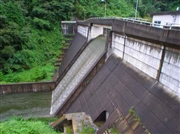
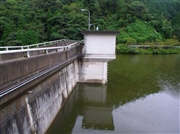
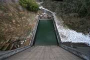
Ohtake Dam [Okayama Pref.]
|
|
|
Dam Photo
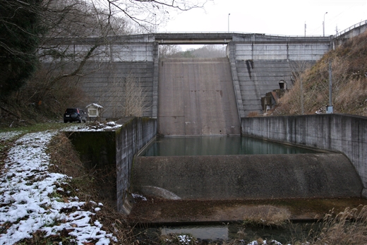
(Photo by: cantam)
|
 033298 Hi Ace
|
|
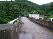 033297 Hi Ace
|
|
 033294 Hi Ace
|
|
 085355 cantam
|
|
|
| Location (Latitude, Longitude) |
N 34°431' 14'',E 133°25' 55''
[Japanese Dam Finder]
|
| Purpose/Dam type |
A/G
|
| Height/Crest length/Dam volume |
26.9m/96.8m/26 thousand m3 |
| Catchment area/Water surface area |
3.8km2/6ha |
| Reservoir capacity |
360 thousand m3 |
| FY project started/completed |
1974/1980
|
