Dam data table
|
Dam No.:1900
|
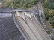
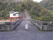
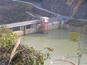
No.2 Hoshida Dam [Okayama Pref.]
|
|
|
Dam Photo
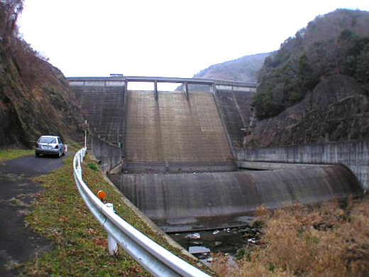
(Photo by: Hi Ace)
|
 045184 Atsushi Kato
|
|
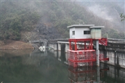 046844 Rui Abe
|
|
 045183 Atsushi Kato
|
|
 045185 Atsushi Kato
|
|
|
| Location (Latitude, Longitude) |
N 34°381' 32'',E 133°31' 53''
[Japanese Dam Finder]
|
| Purpose/Dam type |
A/G
|
| Height/Crest length/Dam volume |
42.6m/108m/64 thousand m3 |
| Catchment area/Water surface area |
16.3km2/10ha |
| Reservoir capacity |
1360 thousand m3 |
| FY project started/completed |
1970/1983
|
