Dam data table
|
Dam No.:1902
|
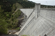
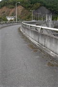
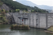
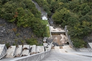
Takasegawa Dam [Okayama Pref.]
|
|
|
Dam Photo
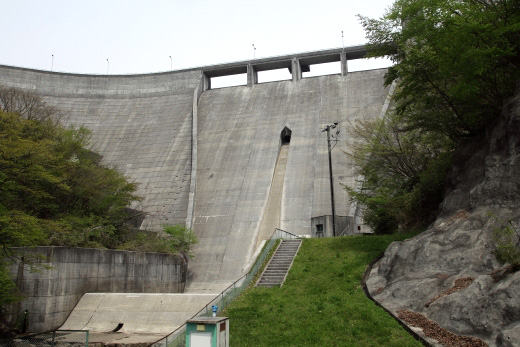
(Photo by: Takashi Yasukochi)
|
 111833 Takashi Yasukochi
|
|
 085396 cantam
|
|
 111817 Takashi Yasukochi
|
|
 085395 cantam
|
|
|
| Location (Latitude, Longitude) |
N 35°41' 27'',E 133°21' 26''
[Japanese Dam Finder]
|
| Purpose/Dam type |
FNW/G
|
| Height/Crest length/Dam volume |
67m/273.6m/188 thousand m3 |
| Catchment area/Water surface area |
21.6km2/28ha |
| Reservoir capacity |
4530 thousand m3 |
| FY project started/completed |
1974/1982
|
