Dam data table
|
Dam No.:1911
|
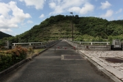
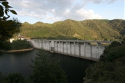
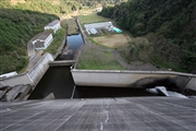
Hattojigawa Dam [Okayama Pref.]
|
|
|
Dam Photo
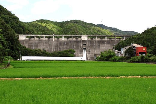
(Photo by: Takashi Yasukochi)
|
 153814 Takashi Yasukochi
|
|
 153811 Takashi Yasukochi
|
|
 085453 cantam
|
|
 085451 cantam
|
|
|
| Location (Latitude, Longitude) |
N 34°521' 16'',E 134°15' 02''
[Japanese Dam Finder]
|
| Purpose/Dam type |
FNW/G
|
| Height/Crest length/Dam volume |
44m/226m/119 thousand m3 |
| Catchment area/Water surface area |
35.2km2/35ha |
| Reservoir capacity |
5700 thousand m3 |
| FY project started/completed |
1978/1989
|
