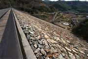
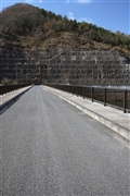
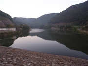
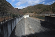
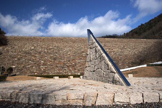
[Back]  [Dams in Japan]  [Japanese Page]


Dam data table
 
Dam No.:1914
 
Kurotani Dam (Re) [Okayama Pref.]

 → Kurodani-ike (Pre)
Dam Photo

(Photo by: cantam)
085469 cantam
085470 cantam
033375 Hi Ace
085468 cantam
Location (Latitude, Longitude) N 34°471' 19'',E 133°47' 44''   [Japanese Dam Finder]
Purpose/Dam type FA/R
Height/Crest length/Dam volume 43.6m/208.5m/374 thousand m3
Catchment area/Water surface area 10km2/10ha
Reservoir capacity 1334 thousand m3
FY project started/completed 1980/1989


Notes:
1. Dam purposes are abbreviated as follows:
A: Agricultural irrigation   F: Flood control   I: Water supply for industry   N: Non-specified, river flow maintenance
P: Hydropower   R: Recreation   S: Snow melting &removing   W: Water supply

2. Dam types are abbreviated as follows:
A: Arch   B: Buttress   CSG: Trapezoidal CSG   E: Earthfill   FA: Asphalt face fill   FC: Asphalt core fill   G: Gravity
GF: Gravity concrete & fill dam (compound)   HG: Hollow gravity   MA: Multi-arch   R: Rockfill

3. The fiscal year (FY) in Japan is from April 1 to March 31 of the following year.

Please send your comments
Copyright 2012 JAPAN DAM FOUNDATION. All rights reserved.

[Back]  [Dams in Japan]  [Japanese Page]