Dam data table
|
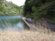
Dam No.:1954
|
Daiwa-ike [Hiroshima Pref.]
|
|
|
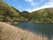
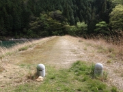
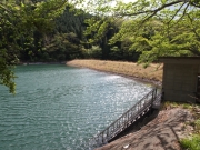
Dam Photo
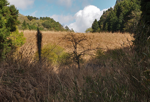
(Photo by: Hiro@)
|
 188759 Hiro@
|
|
 188757 Hiro@
|
|
 188756 Hiro@
|
|
 188758 Hiro@
|
|
|
| Location (Latitude, Longitude) |
N 34°351' 30'',E 132°35' 56''
[Japanese Dam Finder]
|
| Purpose/Dam type |
A/E
|
| Height/Crest length/Dam volume |
15m/100m/140 thousand m3 |
| Catchment area/Water surface area |
1.5km2/2ha |
| Reservoir capacity |
152 thousand m3 |
| FY project started/completed |
2000/2004
|
