Dam data table
|
Dam No.:1980
|
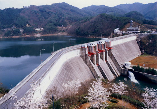
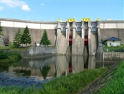
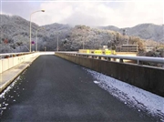
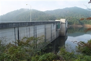
Haji Dam [Hiroshima Pref.]
|
|
|
Dam Photo
 022248 Dam master
|
|
 033583 Hi Ace
|
|
 069513 Sanchan
|
|
 069522 Sanchan
|
|
|
| Location (Latitude, Longitude) |
N 34°381' 37'',E 132°37' 16''
[Japanese Dam Finder]
|
| Purpose/Dam type |
FNAWIP/G
|
| Height/Crest length/Dam volume |
50m/300m/210 thousand m3 |
| Catchment area/Water surface area |
307.5km2/280ha |
| Reservoir capacity |
47300 thousand m3 |
| FY project started/completed |
1966/1973
|